Fil:Europe location WAL2.png

Storlek på förhandsvisningen: 960 × 720 pixlar. Andra upplösningar: 320 × 240 pixlar | 640 × 480 pixlar | 800 × 600 pixlar | 1 024 × 768 pixlar | 1 600 × 1 200 pixlar.
Originalfil (1 600 × 1 200 pixlar, filstorlek: 803 kbyte, MIME-typ: image/png)
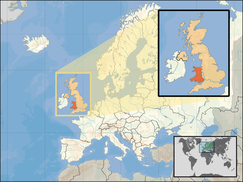
| Beskrivning | Location of Wales in the UK and Europe, on terrain map showing surface and underwater contour areas. | |||
| Datum | ||||
| Källa | Derived from Wikimedia Commons image of original work forming part of the "Europe location" map series created by David Liuzzo: derived from Image:Europe_location_WAL.png. | |||
| Skapare | uploaded by User:Kmusser (excerpt from User:David_Liuzzo) | |||
| Tillstånd (Återanvändning av denna fil) |
|
|||
| Andra versioner |
|


Filhistorik
Klicka på ett datum/klockslag för att se filen som den såg ut då.
| Datum/Tid | Miniatyrbild | Dimensioner | Användare | Kommentar | |
|---|---|---|---|---|---|
| nuvarande | 24 september 2008 kl. 17.20 | | 1 600 × 1 200 (803 kbyte) | Kmusser | {{Information |Description= Location of Wales in the UK and Europe, on terrain map showing surface and underwater contour areas. |Source=Derived from Wikimedia Commons image of original work forming part of the "Europe location" map series cre |
Filanvändning
Följande sida länkar till den här filen: